Planning Your First Long-Distance Ride
Learn how to pick a route, prepare your bike, and build the fitness needed for multi-day cycling tours.
Read GuideComplete guide to the Greenway trail system, elevation profiles, town stops with amenities, and how to connect different sections into a longer tour.

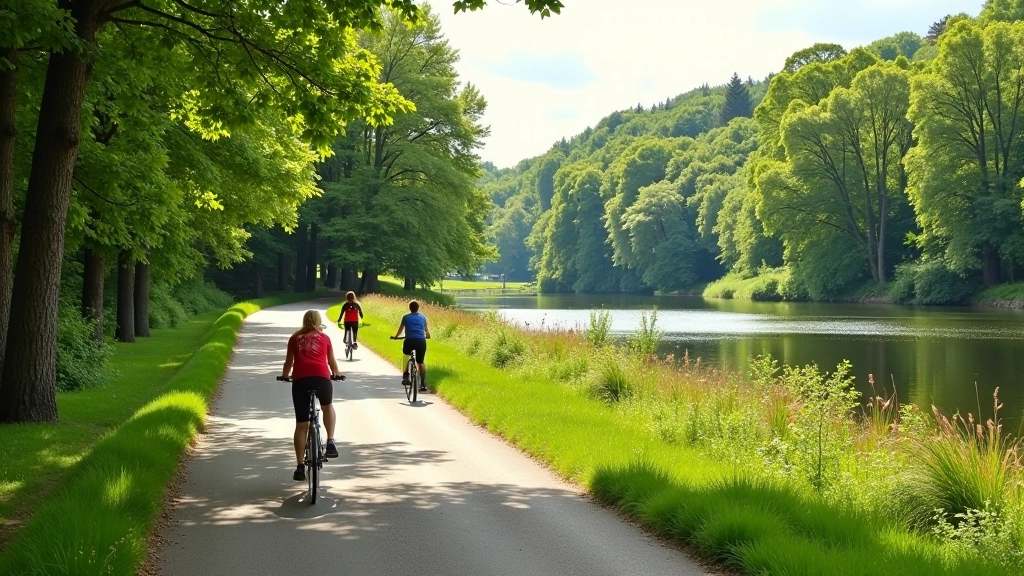
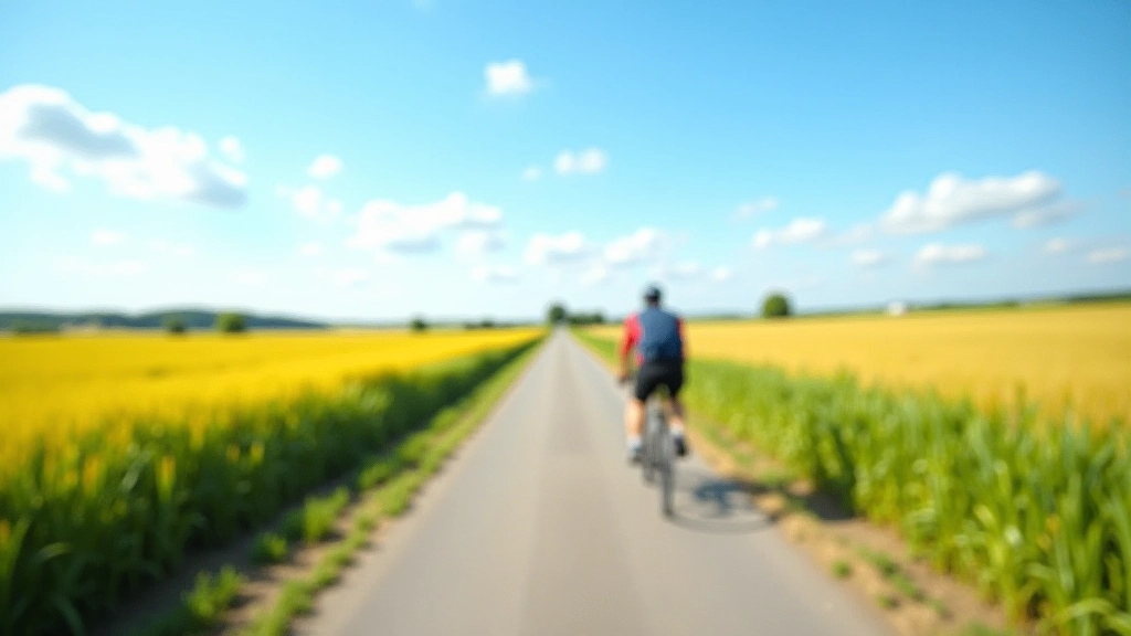
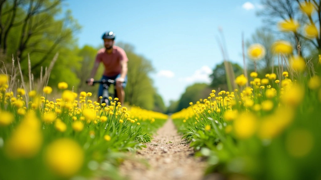
The South Bohemia Greenway isn’t just one trail — it’s a network of connected cycling paths that link together to create something really special. We’re talking about 400+ kilometers of mostly flat to rolling terrain through some of the country’s most beautiful countryside. You’ll pass through forest sections, small villages that feel like you’ve stepped back in time, and past lakes that are perfect for a quick dip.
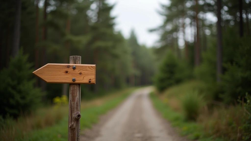
What makes it different? It’s designed for real riders. Not the extreme downhill crowd, not the racing types. The Greenway works for families, weekend cyclists, people getting back into riding after years off. The paths are well-maintained, clearly marked, and you’re never far from a place to grab water or food.
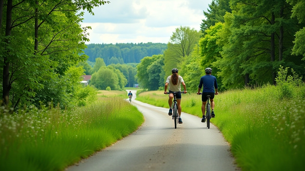
The Greenway breaks down into manageable sections. Each one has its own character, different elevation changes, and varying levels of town access. Here’s what you’ll encounter on each stretch.
This is the classic starting point for most riders. It’s flatter than the later sections — elevation changes are gentle, nothing more than 50-80 meters per climb. The terrain is a mix of dedicated bike paths and quiet country roads. You’ll roll through Tábor, which has good infrastructure for cyclists. Supplies are easy to find. The second half gets slightly more interesting with some forest riding and a few small climbs. Most people tackle this in two days, stopping overnight in Blatná.
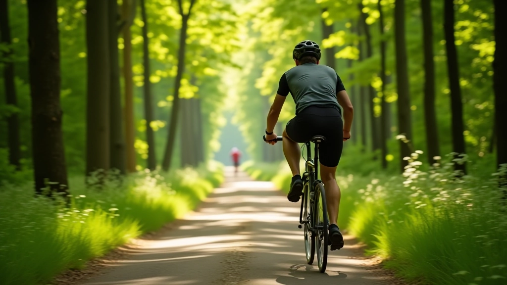
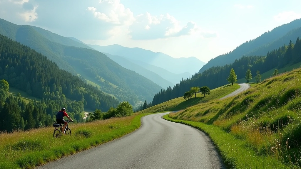
This section is where things get more interesting. You’re climbing a bit more — we’re talking 300+ meters of elevation gain. But here’s the thing: the climbs aren’t steep. They’re gradual, which means they’re actually rideable even if you’re not super fit. The forest sections are genuinely beautiful. You’ll pass through small towns like Strakonice and Putim. Both have bike shops if you need repairs. The path quality is excellent here. Single day if you’re experienced, two days if you’re taking your time.
Late April through October is prime season. May and September are genuinely the sweet spot — weather’s stable, not too hot, and you won’t get crowded like July and August. Spring can be muddy in some forest sections. Winter isn’t impossible if you’ve got the right bike, but maintenance gets annoying with all the salt they use on nearby roads.
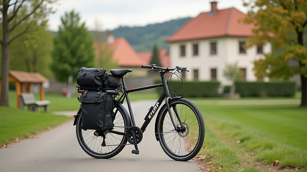
You don’t need a fancy bike. A hybrid, gravel bike, or even a road bike with decent tires works fine. The Greenway isn’t technical. Bring a repair kit — patches, spare tube, multi-tool. Water capacity matters. Most sections have water stops, but you don’t want to find yourself thirsty with 15 kilometers to the next town. If you’re doing overnight trips, panniers make more sense than a heavy backpack. Phone mount is useful because navigation apps work great here, though the route is well-marked anyway.
Cell service isn’t reliable in all forest sections. Download offline maps using Maps.me or Komoot before you start. You’ll have peace of mind and won’t waste battery.
Towns are spaced 30-40 km apart. Don’t wait until you’re bonking. Pack energy bars, fruit, or snacks. A proper lunch break keeps your energy steady for the afternoon push.
Tires properly inflated, brakes working, chain clean. You’re out in the countryside — a flat tire isn’t a quick walk to a shop. Thirty minutes checking your bike saves hours of frustration.
Local cycling groups organize group rides on the Greenway regularly. You’ll get local knowledge, find riding partners, and sometimes discover shortcuts or better routes that don’t make it into guidebooks.
Afternoon thunderstorms are common in summer. Start early, finish by mid-afternoon. Wind typically comes from the west, so consider riding east first on breezy days.
Popular towns fill up on weekends, especially in peak season. Reserve your bed the day before. You won’t regret having a confirmed place to rest after a full day of riding.
This guide is provided for informational and educational purposes only. Conditions on the Greenway can change seasonally, and maintenance schedules vary. Always check local cycling organizations and official South Bohemia tourism websites for current trail conditions before planning your trip. Weather, elevation, and distance estimates are general guidelines and may vary based on your fitness level, bike type, and riding pace. Bring proper safety equipment including helmet, lights, and high-visibility clothing. Follow all local traffic rules and be respectful of other trail users.